Edgewater GIS
The City of Edgewater employs an Enterprise GIS to store data related to the City’s utility infrastructure, land use, property management, parks, and right of ways for the purpose of improving efficiency, accuracy and productivity. The City’s GIS uses the information for responders in times of emergency, assist in City planning, collection and management of City assets, conduct analysis of spatial events and provide our citizens with information about the City.
City Interactive Maps

City's Main Interactive Map: This is the City's "One-Stop" Map. Use this map to see the services provided to properties within our City as well as current City notifications, Council Districts, Zoning and other important information.
Interactive map for mobile devices
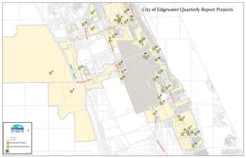
Council and Development Maps:


Downloadable GIS Data Layers

Parks and Trails Maps:


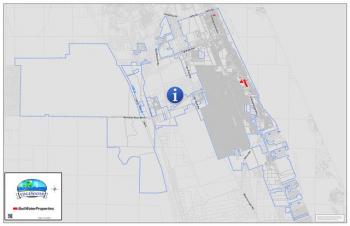
Code Enforcement and Alert Maps:


*These maps are for illustrative purposes only. The data represented is provided as a public service for general information and should not be used for legal, engineering, or surveying purposes. The City makes no claims, representations, or warranties, expressed or implied, concerning the validity (expressed or implied), the reliability, or accuracy of the GIS data and GIS map products furnished by the City. The user is welcomed to verify all official records with city personnel, concerning the timeliness and accuracy of the data presented.
Accessibility: Online interactive maps contain GIS data represented as graphical elements. The interactive mapping services representations are graphical visual elements in their nature and cannot be represented accurately as text.